|
So far so good...
With a range of new aircraft, our capabilities for aerial imagery has expanded over the last few years. Our smaller DJI Phantom 4 pro's can be launched from a boat deck or easily back-packed for those hard-to-reach mountain top and remote terrain shots. The larger DJI Inspire 2 with its X5S camera can produce cinematic quality video, track fast-moving subjects and produce stunning quality stills.
Click the button to view or download the CloudBase Productions 'So Far So Good' show-reel video at high resolution from Vimeo.com 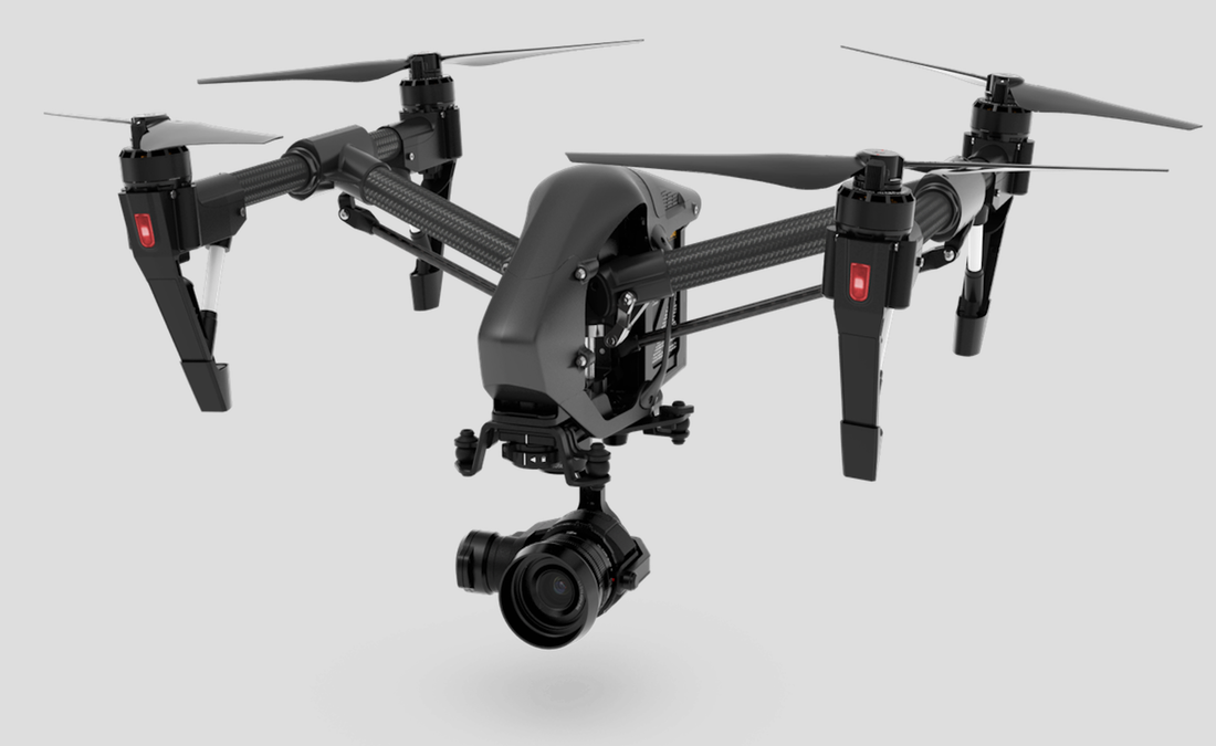
|

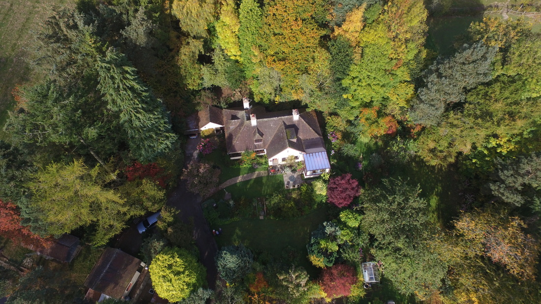
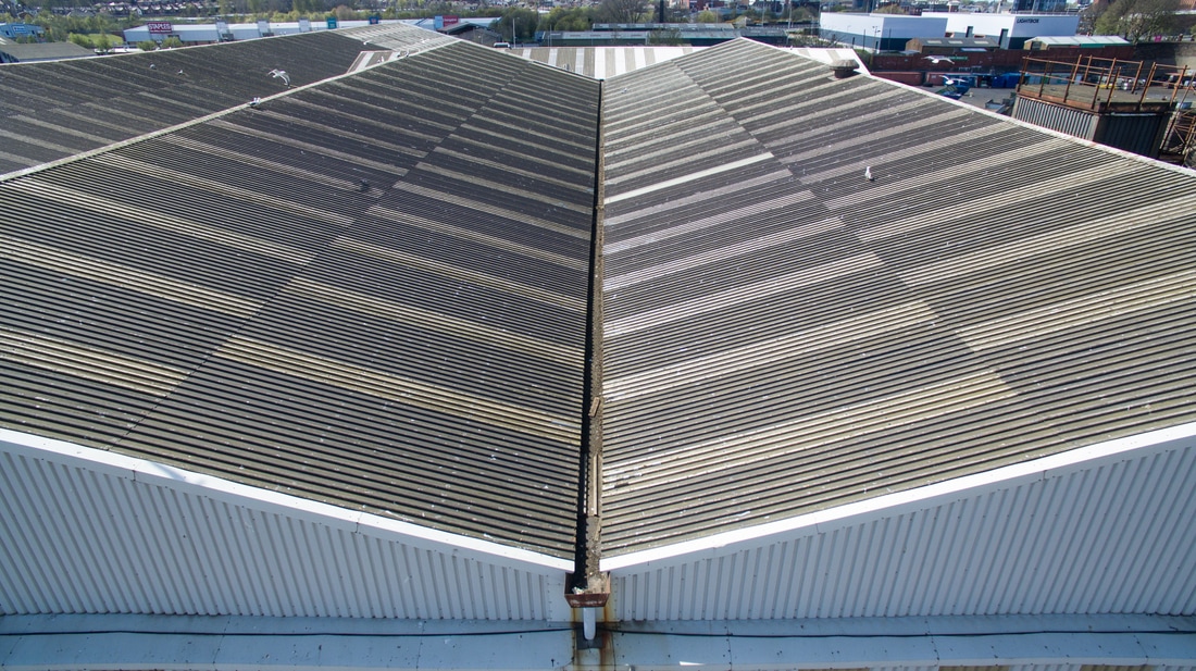
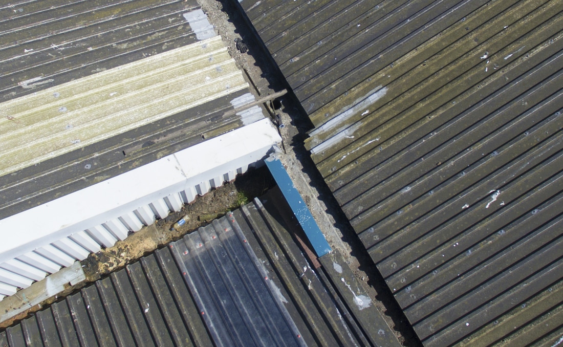
Buildings from above...
|
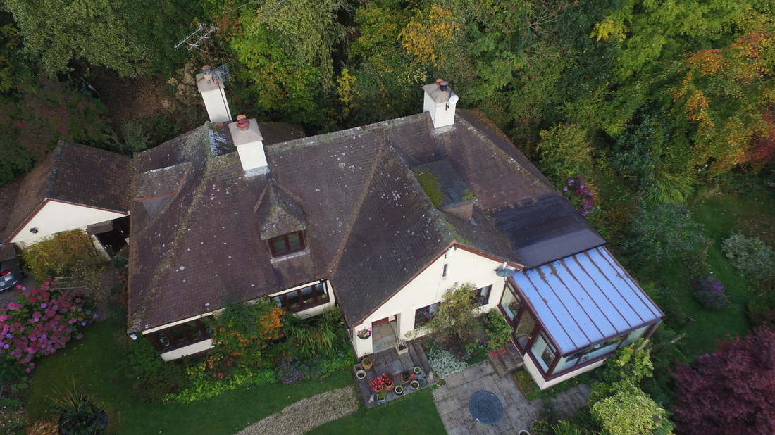
Closer...Closer in, external details of the building itself can be viewed from all angles from directly above to ground level.
|
|
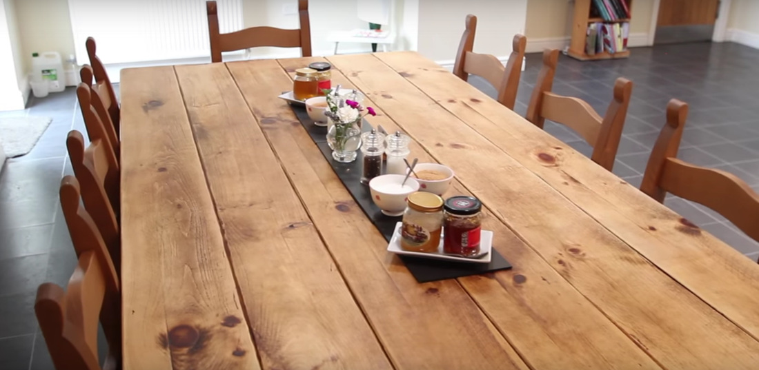
Indoors...We can also give prospective viewers an indoor tour using video or stills and can work with the owners to prepare and show the property at its best.
Demonstrating scale and potential is highly effective from the air. The Cammell Laird Shipyard in Birkenhead covers several hectares where the view from above can illustrate a variety of heavy engineering capabilities both inside and out.
|
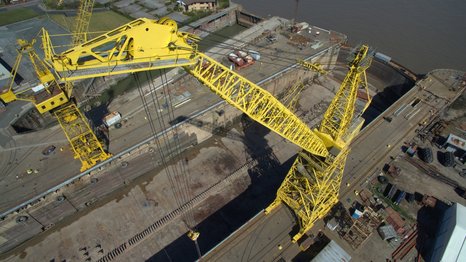
Our UAVs are highly manoeuvrable and can take fine resolution images at close range to inspect heavy plant and buildings for signs of damage at a fraction of the cost of hiring scaffolding, cranes or specialist climbers.
|
|
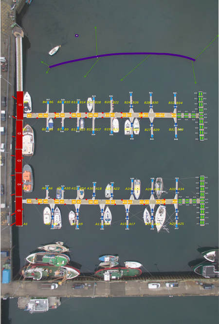
Habitat surveillance and monitoring from the air...
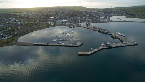
Aerial photography, using a drone, provides a means of identifying and quantifying habitats. In the case illustrated here, man-made habitats in the Orkney islands' marinas, open to invasion by non-native species, were surveyed as part of the local marine biosecurity action plan.
See: Holt, R.H.F & Kakkonen, J. 2017. Marine non-native species - preventative measures in the Orkney Islands’ marinas. Orkney Island Council, Marine Services report. |
|
Aerial habitat surveys
Habitat survey can make use of standard or alternative photographic techniques such as geo-referenced stereo imagery or multi- or hyper-spectral imaging cameras that work outside the visible spectrum and can be carried by our larger drones.
|
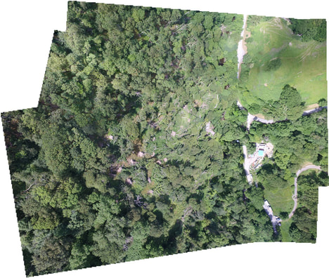
Storm damage assessments in woodland. Rapid survey to target clearance or restoration. Low level flights to produce a mosaic of high resolution images provides enough detail to speciate individual trees.
|
|
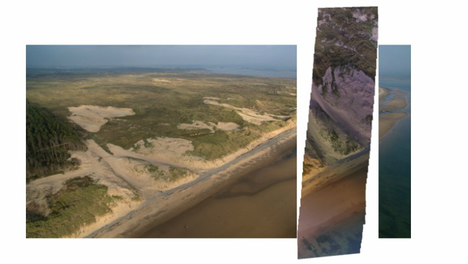
Destabilisation of sand dunes at the Newborough Warren National Nature Reserve. Illustrative images show how the project is progressing. More advanced 3D photographic techniques can be utilised to show movement of sand and changes in dune volume.
|
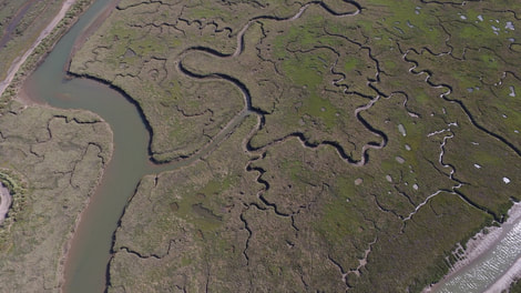
Mapping the intricate patterns of creeks and saltmarsh vegetation types.
Extreme location events
|
|
The logistics involved with working on location for a major production company or broadcaster, such as Ch4, are necessarily more complex and involved to insure compliance with safety legislation and minimise risk to co-workers and the general public. Road closures, a network of observers and marshals, radio communication and PA broadcasts are all utilised so that we can fly safely, work with the organiser's team and record every key moment both from the air and on the ground.
|
Getting away from it all...
|
|
Aerial imagery is the best way to set a holiday destination into the landscape. Fresh air and empty space surrounded by classic scenery will sell itself to those who want to get away from it all. Merthyr Farm Campsite, near Harlech in mid Wales, is a classic example of how stunning simplicity can be so attractive.
|
